The nearest country
The nearest country to you
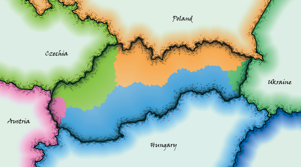
across the Czechia & Slovakia
Some QGIS work with OSM data again. I used layers/polygons of European countries and filled Czechia with random points. Borders had to be converted to lines and transformed to vertexes. Using the function Distance to nearest hub I was able to find out the closest border to each random point. For the visualization, I used and edited (a little bit) QGIS styles involved by Topi Tjukanov and Klas Karlsson